
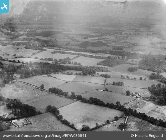
EPW036941 ENGLAND (1931). High Road, Ten Acre Wood and surrounding countryside, Mugswell, from the west, 1931
© Copyright OpenStreetMap contributors and licensed by the OpenStreetMap Foundation. 2025. Cartography is licensed as CC BY-SA.
Nearby Images (2)
EPW036941

EAW010551

Details
| Title | [EPW036941] High Road, Ten Acre Wood and surrounding countryside, Mugswell, from the west, 1931 |
| Reference | EPW036941 |
| Date | October-1931 |
| Link | |
| Place name | MUGSWELL |
| Parish | |
| District | |
| Country | ENGLAND |
| Easting / Northing | 527151, 154912 |
| Longitude / Latitude | -0.17676546956571, 51.278634996464 |
| National Grid Reference | TQ272549 |
Pins
Be the first to add a comment to this image!