
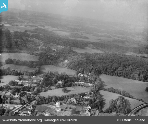
EPW036928 ENGLAND (1931). Nut Wood and Quarry Hill, Reigate, from the south-east, 1931
© Copyright OpenStreetMap contributors and licensed by the OpenStreetMap Foundation. 2025. Cartography is licensed as CC BY-SA.
Nearby Images (8)
EPW036928

EAW010558

EAW010554

EAW010557

EAW010559

EPW036952

EPW036929

EAW010555

Details
| Title | [EPW036928] Nut Wood and Quarry Hill, Reigate, from the south-east, 1931 |
| Reference | EPW036928 |
| Date | October-1931 |
| Link | |
| Place name | REIGATE |
| Parish | |
| District | |
| Country | ENGLAND |
| Easting / Northing | 526560, 151474 |
| Longitude / Latitude | -0.18645223476649, 51.247864639985 |
| National Grid Reference | TQ266515 |
