
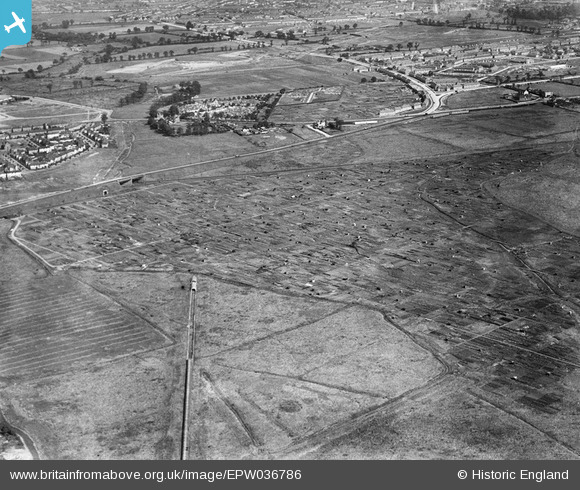
EPW036786 ENGLAND (1931). Allotment Gardens alongside Alfred's Way, Barking, 1931
© Copyright OpenStreetMap contributors and licensed by the OpenStreetMap Foundation. 2025. Cartography is licensed as CC BY-SA.
Nearby Images (2)
EPW036786

EPW036791

Details
| Title | [EPW036786] Allotment Gardens alongside Alfred's Way, Barking, 1931 |
| Reference | EPW036786 |
| Date | September-1931 |
| Link | |
| Place name | BARKING |
| Parish | |
| District | |
| Country | ENGLAND |
| Easting / Northing | 545862, 183162 |
| Longitude / Latitude | 0.10297010319104, 51.528023601947 |
| National Grid Reference | TQ459832 |
