
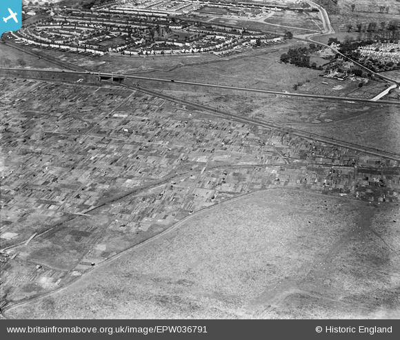
EPW036791 ENGLAND (1931). Allotment Gardens alongside Alfred's Way, Barking, 1931
© Copyright OpenStreetMap contributors and licensed by the OpenStreetMap Foundation. 2025. Cartography is licensed as CC BY-SA.
Nearby Images (2)
EPW036791

EPW036786

Details
| Title | [EPW036791] Allotment Gardens alongside Alfred's Way, Barking, 1931 |
| Reference | EPW036791 |
| Date | September-1931 |
| Link | |
| Place name | BARKING |
| Parish | |
| District | |
| Country | ENGLAND |
| Easting / Northing | 546072, 183277 |
| Longitude / Latitude | 0.10604328732416, 51.529002743926 |
| National Grid Reference | TQ461833 |
Pins
Be the first to add a comment to this image!