
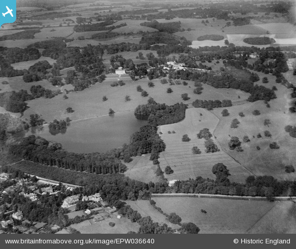
EPW036640 ENGLAND (1931). Gatton Park, Gatton, 1931
© Copyright OpenStreetMap contributors and licensed by the OpenStreetMap Foundation. 2025. Cartography is licensed as CC BY-SA.
Nearby Images (3)
EPW036640

EAW024784

EAW024785

Details
| Title | [EPW036640] Gatton Park, Gatton, 1931 |
| Reference | EPW036640 |
| Date | September-1931 |
| Link | |
| Place name | GATTON |
| Parish | |
| District | |
| Country | ENGLAND |
| Easting / Northing | 527927, 152575 |
| Longitude / Latitude | -0.16648076506847, 51.257455696803 |
| National Grid Reference | TQ279526 |
Pins
Be the first to add a comment to this image!