
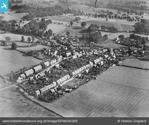
EPW036368 ENGLAND (1931). Frederick Street and Quainton Road, Waddesdon, 1931
© Copyright OpenStreetMap contributors and licensed by the OpenStreetMap Foundation. 2025. Cartography is licensed as CC BY-SA.
Nearby Images (2)
EPW036368

EPW036369

Details
| Title | [EPW036368] Frederick Street and Quainton Road, Waddesdon, 1931 |
| Reference | EPW036368 |
| Date | August-1931 |
| Link | |
| Place name | WADDESDON |
| Parish | WADDESDON |
| District | |
| Country | ENGLAND |
| Easting / Northing | 474407, 217072 |
| Longitude / Latitude | -0.91971206182149, 51.84683845989 |
| National Grid Reference | SP744171 |
Pins
Be the first to add a comment to this image!