
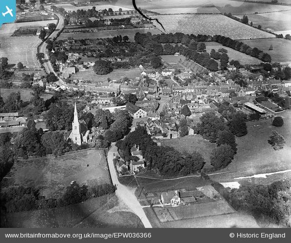
EPW036366 ENGLAND (1931). St Mary's Church and the town centre, Princes Risborough, 1931
© Copyright OpenStreetMap contributors and licensed by the OpenStreetMap Foundation. 2025. Cartography is licensed as CC BY-SA.
Nearby Images (3)
EPW036366

EPW036363

EPW036367

Details
| Title | [EPW036366] St Mary's Church and the town centre, Princes Risborough, 1931 |
| Reference | EPW036366 |
| Date | August-1931 |
| Link | |
| Place name | PRINCES RISBOROUGH |
| Parish | PRINCES RISBOROUGH |
| District | |
| Country | ENGLAND |
| Easting / Northing | 480684, 203473 |
| Longitude / Latitude | -0.8317610064402, 51.723708734249 |
| National Grid Reference | SP807035 |
Pins
Be the first to add a comment to this image!