
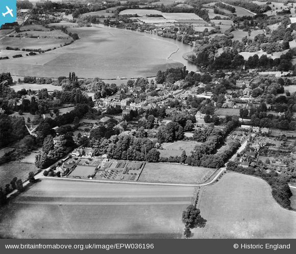
EPW036196 ENGLAND (1931). The town, Wargrave, from the south, 1931
© Copyright OpenStreetMap contributors and licensed by the OpenStreetMap Foundation. 2025. Cartography is licensed as CC BY-SA.
Nearby Images (3)
EPW036196

EPW036195

EPW036198

Details
| Title | [EPW036196] The town, Wargrave, from the south, 1931 |
| Reference | EPW036196 |
| Date | August-1931 |
| Link | |
| Place name | WARGRAVE |
| Parish | WARGRAVE |
| District | |
| Country | ENGLAND |
| Easting / Northing | 478619, 178288 |
| Longitude / Latitude | -0.86730417752163, 51.497574647424 |
| National Grid Reference | SU786783 |
Pins

Nowy Paul |
Friday 28th of June 2013 02:25:22 PM | |
|
Nowy Paul |
Friday 28th of June 2013 02:22:01 PM |