
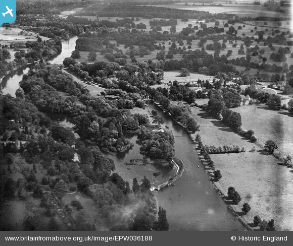
EPW036188 ENGLAND (1931). The River Thames, Hurley, from the west, 1931
© Copyright OpenStreetMap contributors and licensed by the OpenStreetMap Foundation. 2025. Cartography is licensed as CC BY-SA.
Nearby Images (7)
EPW036188

EAW034640

EAW034637

EAW034638

EAW034644

EAW034642

EAW034641

Details
| Title | [EPW036188] The River Thames, Hurley, from the west, 1931 |
| Reference | EPW036188 |
| Date | August-1931 |
| Link | |
| Place name | HURLEY |
| Parish | HURLEY |
| District | |
| Country | ENGLAND |
| Easting / Northing | 482172, 184240 |
| Longitude / Latitude | -0.81473753484406, 51.550580943787 |
| National Grid Reference | SU822842 |
Pins
Be the first to add a comment to this image!