
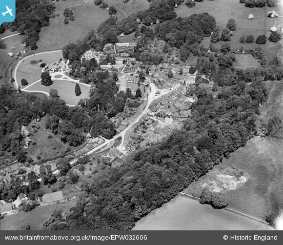
EPW032606 ENGLAND (1930). Parsonage Wood, St Andrew's Church and the village, Castle Combe, 1930
© Copyright OpenStreetMap contributors and licensed by the OpenStreetMap Foundation. 2025. Cartography is licensed as CC BY-SA.
Nearby Images (11)
EPW032606

EAW027304

EAW027305

EAW014927

EPW032608

EAW014925

EPW032607

EAW014926

EAW014928

EAW027307

EAW027306

Details
| Title | [EPW032606] Parsonage Wood, St Andrew's Church and the village, Castle Combe, 1930 |
| Reference | EPW032606 |
| Date | June-1930 |
| Link | |
| Place name | CASTLE COMBE |
| Parish | CASTLE COMBE |
| District | |
| Country | ENGLAND |
| Easting / Northing | 384209, 177130 |
| Longitude / Latitude | -2.2274784490323, 51.492409935522 |
| National Grid Reference | ST842771 |
Pins
 Class31 |
Wednesday 24th of April 2013 02:16:47 PM | |
Class31 |
Wednesday 24th of April 2013 02:05:18 PM | |
Class31 |
Wednesday 24th of April 2013 02:04:59 PM | |
Class31 |
Wednesday 24th of April 2013 02:04:24 PM | |
Class31 |
Wednesday 24th of April 2013 02:04:03 PM |