
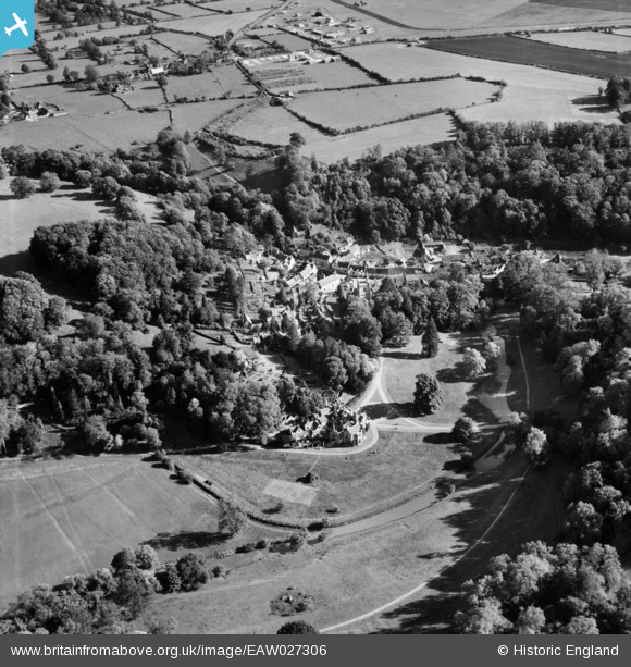
EAW027306 ENGLAND (1949). The village, Castle Combe, 1949
© Copyright OpenStreetMap contributors and licensed by the OpenStreetMap Foundation. 2025. Cartography is licensed as CC BY-SA.
Nearby Images (11)
EAW027306

EAW014926

EAW027307

EAW027305

EAW014927

EPW032608

EAW014925

EPW032607

EAW027304

EPW032606

EAW014928

Details
| Title | [EAW027306] The village, Castle Combe, 1949 |
| Reference | EAW027306 |
| Date | 19-October-1949 |
| Link | |
| Place name | CASTLE COMBE |
| Parish | CASTLE COMBE |
| District | |
| Country | ENGLAND |
| Easting / Northing | 384115, 177218 |
| Longitude / Latitude | -2.228836523595, 51.493198636804 |
| National Grid Reference | ST841772 |
Pins
Be the first to add a comment to this image!