
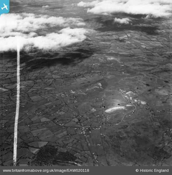
EAW020118 ENGLAND (1948). The quarries on Clee Hill and Titterstone Clee Hill, Clee Hill, 1948. This image has been produced from a print marked by Aerofilms Ltd for photo editing.
© Copyright OpenStreetMap contributors and licensed by the OpenStreetMap Foundation. 2024. Cartography is licensed as CC BY-SA.
Nearby Images (4)
EAW020118

EAW020114

EAW020120

EAW020113

Details
| Title | [EAW020118] The quarries on Clee Hill and Titterstone Clee Hill, Clee Hill, 1948. This image has been produced from a print marked by Aerofilms Ltd for photo editing. |
| Reference | EAW020118 |
| Date | 23-October-1948 |
| Link | |
| Place name | CLEE HILL |
| Parish | CAYNHAM |
| District | |
| Country | ENGLAND |
| Easting / Northing | 359222, 276649 |
| Longitude / Latitude | -2.5992208761372, 52.385969966946 |
| National Grid Reference | SO592766 |
Pins
 John W |
Sunday 2nd of February 2020 09:33:36 PM | |
John W |
Sunday 2nd of February 2020 09:30:46 PM |