
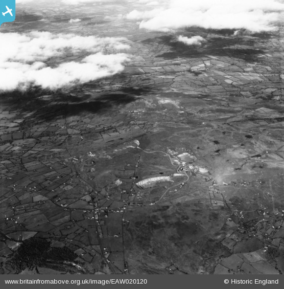
EAW020120 ENGLAND (1948). The quarries on Clee Hill and Titterstone Clee Hill, Clee Hill, 1948. This image has been produced from a print.
© Copyright OpenStreetMap contributors and licensed by the OpenStreetMap Foundation. 2024. Cartography is licensed as CC BY-SA.
Nearby Images (4)
EAW020120

EAW020114

EAW020118

EAW020113

Details
| Title | [EAW020120] The quarries on Clee Hill and Titterstone Clee Hill, Clee Hill, 1948. This image has been produced from a print. |
| Reference | EAW020120 |
| Date | 23-October-1948 |
| Link | |
| Place name | CLEE HILL |
| Parish | CAYNHAM |
| District | |
| Country | ENGLAND |
| Easting / Northing | 359293, 276705 |
| Longitude / Latitude | -2.5981844189472, 52.386478727803 |
| National Grid Reference | SO593767 |
Pins
Be the first to add a comment to this image!