
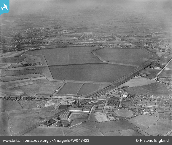
epw047423 ENGLAND (1935). Audenshaw Reservoirs and environs, Audenshaw, from the south, 1935
© Copyright OpenStreetMap contributors and licensed by the OpenStreetMap Foundation. 2026. Cartography is licensed as CC BY-SA.
Nearby Images (6)
EPW047423

EPW047422

EPW047424

EPW047426

EPW047428

EPW047427

Details
| Title | [EPW047423] Audenshaw Reservoirs and environs, Audenshaw, from the south, 1935 |
| Reference | EPW047423 |
| Date | May-1935 |
| Link | |
| Place name | AUDENSHAW |
| Parish | |
| District | |
| Country | ENGLAND |
| Easting / Northing | 391360, 395672 |
| Longitude / Latitude | -2.1301352773676, 53.457474568348 |
| National Grid Reference | SJ914957 |
Pins

Simon DWCC |
Wednesday 12th of February 2014 11:36:09 PM | |
 |
TheGuvOfWythenshawe |
Friday 24th of January 2014 06:23:13 AM |
Both Manchester Roads North and South are part of the A57 which runs between Liverpool and Lincoln via Warrington, Irlam, Eccles, the Mancunian Way Fylover which is the A57(M), Gorton, Hyde, Glossop, Sheffield and Worksop |
TheGuvOfWythenshawe |
Friday 24th of January 2014 06:24:49 AM |
|
TheGuvOfWythenshawe |
Friday 24th of January 2014 06:20:33 AM | |
|
TheGuvOfWythenshawe |
Friday 24th of January 2014 06:18:11 AM |