
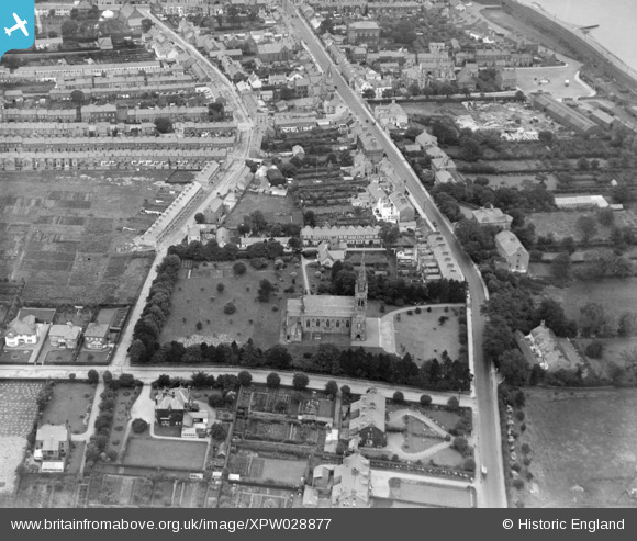
XPW028877 NORTHERN IRELAND (1929). General View, Holywood, North Down, Northern Ireland, 1929. Oblique aerial photograph taken facing South/West.
© Copyright OpenStreetMap contributors and licensed by the OpenStreetMap Foundation. 2026. Cartography is licensed as CC BY-SA.
Nearby Images (5)
XPW028877

XPW028881

XPW028880

XPW028878

XPW028879

Details
| Title | [XPW028877] General View, Holywood, North Down, Northern Ireland, 1929. Oblique aerial photograph taken facing South/West. |
| Reference | XPW028877 |
| Date | 1929 |
| Link | |
| Place name | HOLYWOOD |
| Parish | NORTHERN IRELAND |
| District | |
| Country | NORTHERN IRELAND |
| Easting / Northing | 152641, 534065 |
| Longitude / Latitude | -5.835063, 54.640876 |
| National Grid Reference |
Pins
Be the first to add a comment to this image!
User Comment Contributions
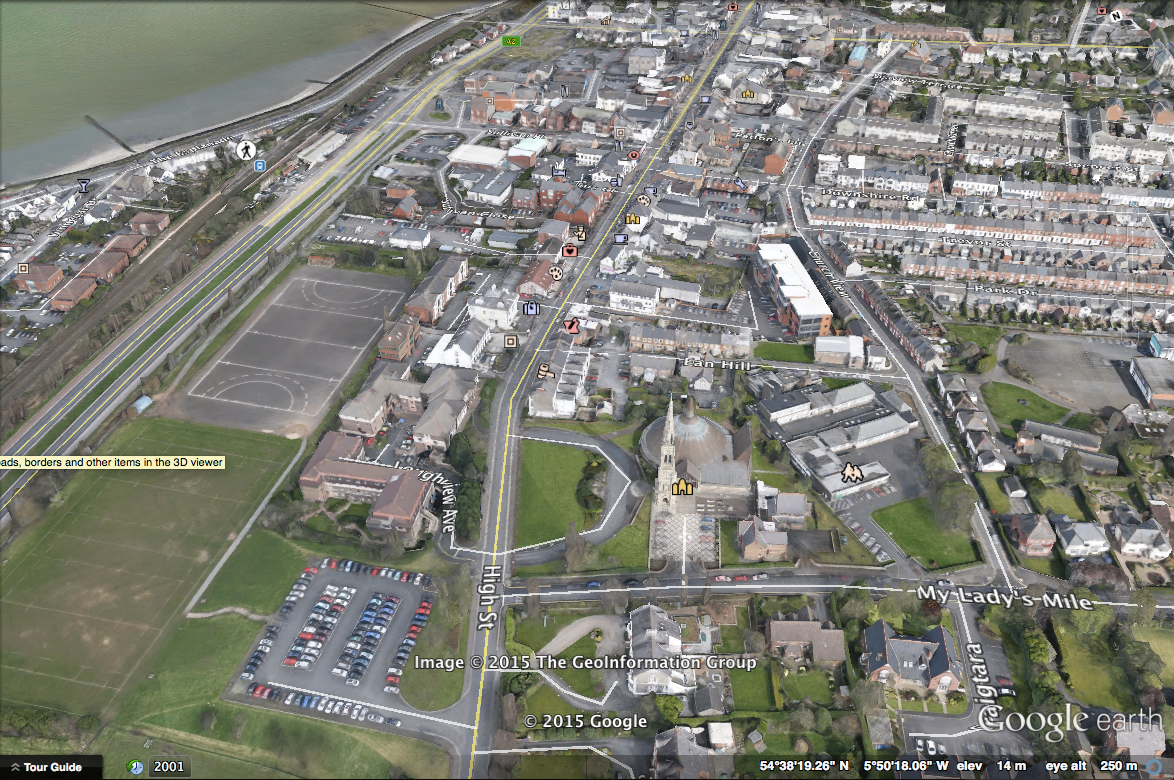
It looks like the negative was the wrong way round, I have attached a recent Google Earth image for comparison |

Davie Mayes |
Sunday 20th of December 2015 10:10:01 AM |
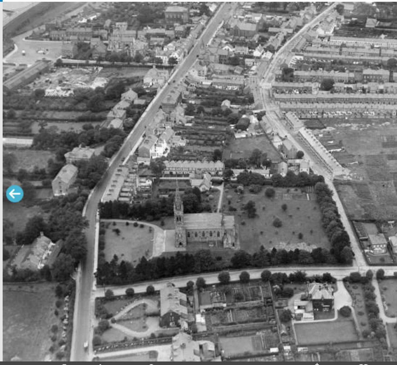
It looks like the negative was the wrong way round, I have attached a flipped image. |
Davie Mayes |
Sunday 20th of December 2015 10:08:39 AM |