
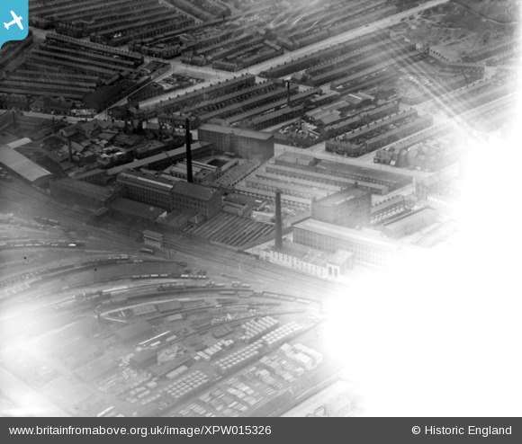
XPW015326 NORTHERN IRELAND (1926). Ferrymont Hill (fogged), Belfast, Belfast, Northern Ireland, 1926. Oblique aerial photograph taken facing West. This image has been produced from a damaged negative.
© Copyright OpenStreetMap contributors and licensed by the OpenStreetMap Foundation. 2026. Cartography is licensed as CC BY-SA.
Nearby Images (3)
XPW015326
, Belfast, Belfast, Northern Ireland, 1926. Oblique aerial photograph taken facing West. This image has been produced from a damaged negative.")
XPW028758

XPW028759

Details
| Title | [XPW015326] Ferrymont Hill (fogged), Belfast, Belfast, Northern Ireland, 1926. Oblique aerial photograph taken facing West. This image has been produced from a damaged negative. |
| Reference | XPW015326 |
| Date | 1926 |
| Link | |
| Place name | BELFAST |
| Parish | NORTHERN IRELAND |
| District | |
| Country | NORTHERN IRELAND |
| Easting / Northing | 146880, 531489 |
| Longitude / Latitude | -5.921893, 54.61493 |
| National Grid Reference |
Pins
Be the first to add a comment to this image!