
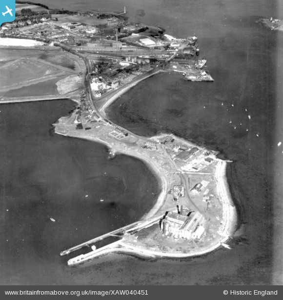
XAW040451 NORTHERN IRELAND (1951). Larne Harbour Ltd, Larne, Larne, Northern Ireland, 1951. Oblique aerial photograph taken facing North.
© Copyright OpenStreetMap contributors and licensed by the OpenStreetMap Foundation. 2026. Cartography is licensed as CC BY-SA.
Nearby Images (3)
XAW040451

XAW040447

XAW040446

Details
| Title | [XAW040451] Larne Harbour Ltd, Larne, Larne, Northern Ireland, 1951. Oblique aerial photograph taken facing North. |
| Reference | XAW040451 |
| Date | 28-September-1951 |
| Link | |
| Place name | LARNE |
| Parish | NORTHERN IRELAND |
| District | |
| Country | NORTHERN IRELAND |
| Easting / Northing | 155984, 556181 |
| Longitude / Latitude | -5.801943, 54.840813 |
| National Grid Reference |
Pins

Stephen Craig |
Monday 1st of December 2014 01:56:28 PM | |
|
Stephen Craig |
Monday 1st of December 2014 01:55:56 PM | |
|
Stephen Craig |
Monday 1st of December 2014 01:55:24 PM | |
|
Stephen Craig |
Monday 1st of December 2014 01:54:15 PM |