
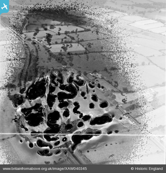
XAW040345 IRELAND (1951). Collinstown House, Leixlip, Kildare, Ireland, 1951. Oblique aerial photograph taken facing East. This image has been produced from a damaged negative.
© Copyright OpenStreetMap contributors and licensed by the OpenStreetMap Foundation. 2025. Cartography is licensed as CC BY-SA.
Nearby Images (10)
XAW040345

XAW040341

XAW040338

XAW040340

XAW040339

XAW040343

XAW040344

XAW040347

XAW040346

XAW040342

Details
| Title | [XAW040345] Collinstown House, Leixlip, Kildare, Ireland, 1951. Oblique aerial photograph taken facing East. This image has been produced from a damaged negative. |
| Reference | XAW040345 |
| Date | 19-September-1951 |
| Link | |
| Place name | LEIXLIP |
| Parish | IRELAND |
| District | |
| Country | IRELAND |
| Easting / Northing | 99228, 395851 |
| Longitude / Latitude | -6.523554, 53.373658 |
| National Grid Reference |
Pins
Be the first to add a comment to this image!