
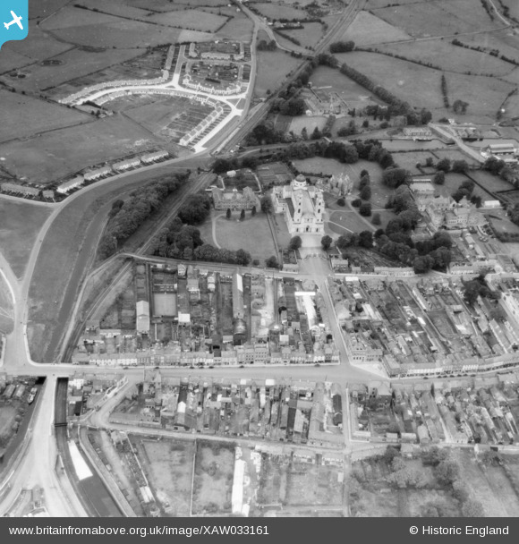
XAW033161 IRELAND (1950). General View, Mullingar, Westmeath, Ireland, 1950. Oblique aerial photograph taken facing North.
© Copyright OpenStreetMap contributors and licensed by the OpenStreetMap Foundation. 2026. Cartography is licensed as CC BY-SA.
Nearby Images (3)
XAW033161

XAW033162

XAW033163

Details
| Title | [XAW033161] General View, Mullingar, Westmeath, Ireland, 1950. Oblique aerial photograph taken facing North. |
| Reference | XAW033161 |
| Date | 1950 |
| Link | |
| Place name | MULLINGAR |
| Parish | IRELAND |
| District | |
| Country | IRELAND |
| Easting / Northing | 45819, 416613 |
| Longitude / Latitude | -7.346371, 53.526405 |
| National Grid Reference |
Pins
Be the first to add a comment to this image!