
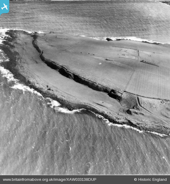
XAW033138DUP NORTHERN IRELAND (1950). Raised Cliff, Larne, Larne, Northern Ireland, 1950. Oblique aerial photograph taken facing North/East.
© Copyright OpenStreetMap contributors and licensed by the OpenStreetMap Foundation. 2026. Cartography is licensed as CC BY-SA.
Nearby Images (2)
XAW033138DUP

XAW033138

Details
| Title | [XAW033138DUP] Raised Cliff, Larne, Larne, Northern Ireland, 1950. Oblique aerial photograph taken facing North/East. |
| Reference | XAW033138DUP |
| Date | 15-September-1950 |
| Link | |
| Place name | LARNE |
| Parish | NORTHERN IRELAND |
| District | |
| Country | NORTHERN IRELAND |
| Easting / Northing | 157487, 557705 |
| Longitude / Latitude | -5.779866, 54.855214 |
| National Grid Reference |
Pins
Be the first to add a comment to this image!