
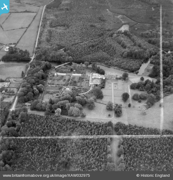
XAW032975 IRELAND (1950). Ballymahon House & Grounds, Ballymahon, Longford, Ireland, 1950. Oblique aerial photograph taken facing North/West. This image was marked by Aerofilms Ltd for photo editing.
© Copyright OpenStreetMap contributors and licensed by the OpenStreetMap Foundation. 2026. Cartography is licensed as CC BY-SA.
Nearby Images (14)
XAW032975

XAW032979

XAW032971

XAW032977

XAW032981

XAW032970

XAW032978

XAW032973

XAW032974

XAW032976

XAW032982

XAW032969

XAW032980

XAW032972

Details
| Title | [XAW032975] Ballymahon House & Grounds, Ballymahon, Longford, Ireland, 1950. Oblique aerial photograph taken facing North/West. This image was marked by Aerofilms Ltd for photo editing. |
| Reference | XAW032975 |
| Date | 21-September-1950 |
| Link | |
| Place name | BALLYMAHON |
| Parish | IRELAND |
| District | |
| Country | IRELAND |
| Easting / Northing | 21330, 422484 |
| Longitude / Latitude | -7.721088, 53.561861 |
| National Grid Reference |
Pins
Be the first to add a comment to this image!