
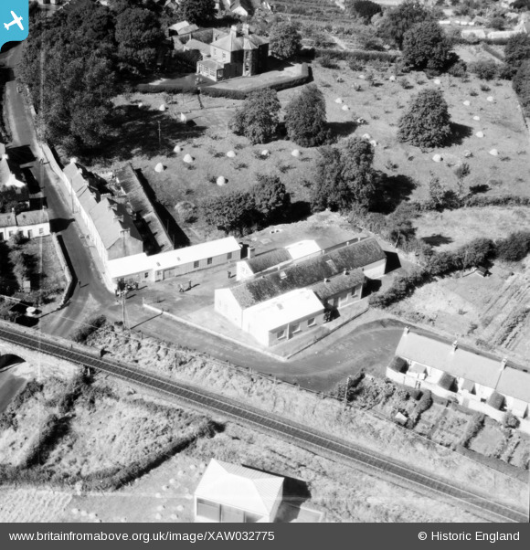
XAW032775 NORTHERN IRELAND (1950). Gracey Brothers Ltd., Omagh, Omagh, Northern Ireland, 1950. Oblique aerial photograph taken facing North/West. This image was marked by Aerofilms Ltd for photo editing.
© Copyright OpenStreetMap contributors and licensed by the OpenStreetMap Foundation. 2026. Cartography is licensed as CC BY-SA.
Nearby Images (11)
XAW032775

XAW032781

XAW032776

XAW032780

XAW032782

XAW032779

XAW032778

XAW032777

XAW033117

XPW042426

XAW033119

Details
| Title | [XAW032775] Gracey Brothers Ltd., Omagh, Omagh, Northern Ireland, 1950. Oblique aerial photograph taken facing North/West. This image was marked by Aerofilms Ltd for photo editing. |
| Reference | XAW032775 |
| Date | 15-September-1950 |
| Link | |
| Place name | OMAGH |
| Parish | NORTHERN IRELAND |
| District | |
| Country | NORTHERN IRELAND |
| Easting / Northing | 57671, 535452 |
| Longitude / Latitude | -7.302494, 54.597873 |
| National Grid Reference |
Pins
Be the first to add a comment to this image!