
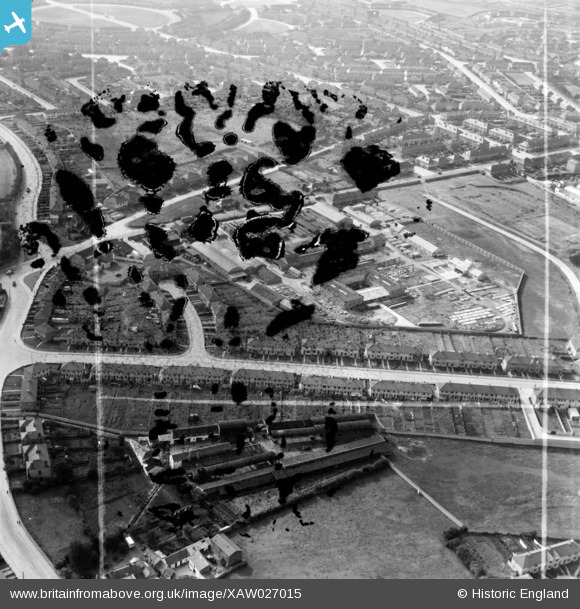
XAW027015 IRELAND (1949). Morocrete Ltd., Crumlin Road, Dublin, Dublin, Ireland, 1949. Oblique aerial photograph taken facing South. This image was marked by Aerofilms Ltd for photo editing and has been produced from a damaged negative.
© Copyright OpenStreetMap contributors and licensed by the OpenStreetMap Foundation. 2026. Cartography is licensed as CC BY-SA.
Nearby Images (21)
XAW027015

XAW027008

XAW019355

XAW027016

XAW019361

XAW019359

XAW027010

XAW027009

XAW019358

XAW027012

XAW019362

XAW019360

XAW019349

XAW027011

XAW019363

XAW019357

XAW019356

XAW027007

XAW019354

XAW027013

XAW027014

Details
| Title | [XAW027015] Morocrete Ltd., Crumlin Road, Dublin, Dublin, Ireland, 1949. Oblique aerial photograph taken facing South. This image was marked by Aerofilms Ltd for photo editing and has been produced from a damaged negative. |
| Reference | XAW027015 |
| Date | 30-October-1949 |
| Link | |
| Place name | DUBLIN |
| Parish | IRELAND |
| District | |
| Country | IRELAND |
| Easting / Northing | 113792, 390204 |
| Longitude / Latitude | -6.300163, 53.331132 |
| National Grid Reference |
Pins
Be the first to add a comment to this image!