
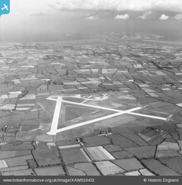
XAW019431 IRELAND (1948). Dublin Airport, Ridgewood, Dublin, Ireland, 1948. Oblique aerial photograph taken facing East.
© Copyright OpenStreetMap contributors and licensed by the OpenStreetMap Foundation. 2026. Cartography is licensed as CC BY-SA.
Nearby Images (3)
XAW019431

XAW019428

XAW019430

Details
| Title | [XAW019431] Dublin Airport, Ridgewood, Dublin, Ireland, 1948. Oblique aerial photograph taken facing East. |
| Reference | XAW019431 |
| Date | 20-September-1948 |
| Link | |
| Place name | RIDGEWOOD |
| Parish | IRELAND |
| District | |
| Country | IRELAND |
| Easting / Northing | 117568, 401077 |
| Longitude / Latitude | -6.253346, 53.430617 |
| National Grid Reference |
Pins
Be the first to add a comment to this image!