
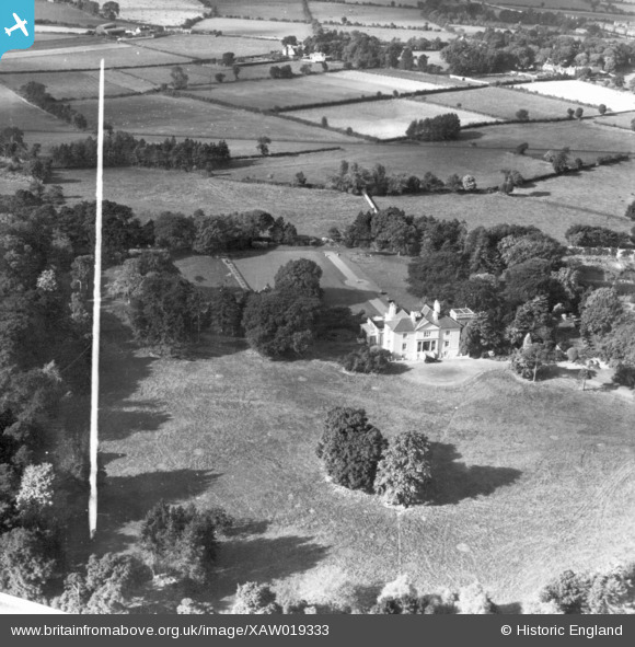
XAW019333 IRELAND (1948). Clonard House, Dundrum, Dublin, Ireland, 1948. Oblique aerial photograph taken facing West. This image was marked by Aerofilms Ltd for photo editing.
© Copyright OpenStreetMap contributors and licensed by the OpenStreetMap Foundation. 2026. Cartography is licensed as CC BY-SA.
Nearby Images (5)
XAW019333

XAW019335

XAW019334

XAW019336

XAW019339

Details
| Title | [XAW019333] Clonard House, Dundrum, Dublin, Ireland, 1948. Oblique aerial photograph taken facing West. This image was marked by Aerofilms Ltd for photo editing. |
| Reference | XAW019333 |
| Date | 21-September-1948 |
| Link | |
| Place name | DUNDRUM |
| Parish | IRELAND |
| District | |
| Country | IRELAND |
| Easting / Northing | 118001, 383796 |
| Longitude / Latitude | -6.231447, 53.275945 |
| National Grid Reference |
Pins
Be the first to add a comment to this image!