
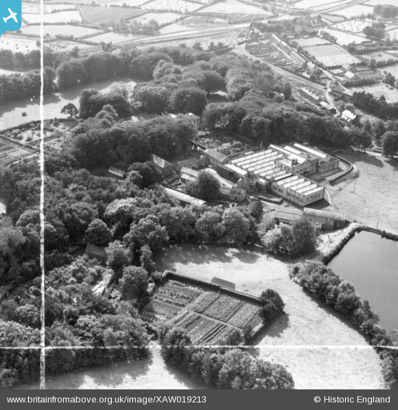
XAW019213 NORTHERN IRELAND (1948). William Clark and Sons Ltd, Upperlands, Magherafelt, Northern Ireland, 1948. Oblique aerial photograph taken facing South. This image was marked by Aerofilms Ltd for photo editing.
© Copyright OpenStreetMap contributors and licensed by the OpenStreetMap Foundation. 2026. Cartography is licensed as CC BY-SA.
Nearby Images (18)
XAW019213

XAW019212

XAW019214

XAW019210

XAW019211

XAW019235

XAW019236

XAW019234

XAW019237

XAW019238

XAW019242

XAW019239

XAW019241

XAW019206

XAW019207

XAW019203

XAW019208

XAW019204

Details
| Title | [XAW019213] William Clark and Sons Ltd, Upperlands, Magherafelt, Northern Ireland, 1948. Oblique aerial photograph taken facing South. This image was marked by Aerofilms Ltd for photo editing. |
| Reference | XAW019213 |
| Date | 25-October-1948 |
| Link | |
| Place name | UPPERLANDS |
| Parish | NORTHERN IRELAND |
| District | |
| Country | NORTHERN IRELAND |
| Easting / Northing | 102523, 564031 |
| Longitude / Latitude | -6.639885, 54.882249 |
| National Grid Reference |
Pins
Be the first to add a comment to this image!