
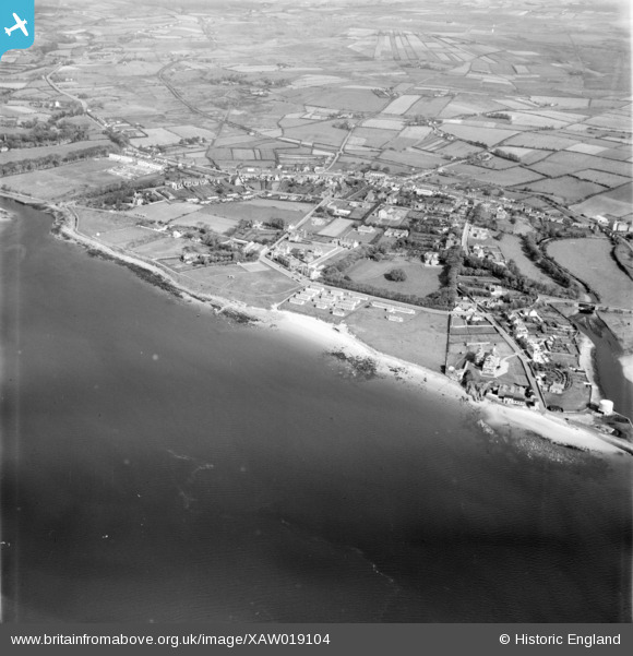
XAW019104 IRELAND (1948). General View, Inch, Donegal, Ireland, 1948. Oblique aerial photograph taken facing North/East.
© Copyright OpenStreetMap contributors and licensed by the OpenStreetMap Foundation. 2025. Cartography is licensed as CC BY-SA.
Nearby Images (2)
XAW019104

XAW019106

Details
| Title | [XAW019104] General View, Inch, Donegal, Ireland, 1948. Oblique aerial photograph taken facing North/East. |
| Reference | XAW019104 |
| Date | 25-September-1948 |
| Link | |
| Place name | INCH |
| Parish | IRELAND |
| District | |
| Country | IRELAND |
| Easting / Northing | 52226, 595643 |
| Longitude / Latitude | -7.458876, 55.132632 |
| National Grid Reference |
Pins
Be the first to add a comment to this image!
User Comment Contributions
I think this is Buncrana town, and not Inch. |

Cronan |
Thursday 23rd of October 2014 03:32:57 PM |