
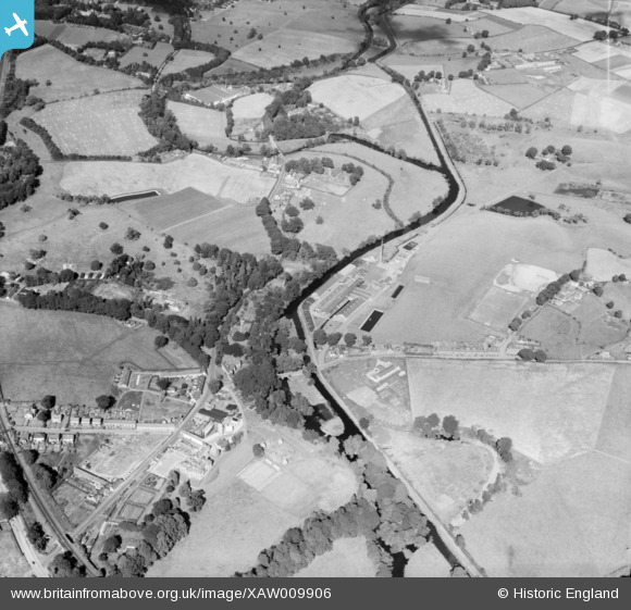
XAW009906 NORTHERN IRELAND (1947). Lambeg Bleach Co., Lambeg, Lisburn, Northern Ireland, 1947. Oblique aerial photograph taken facing North/East.
© Copyright OpenStreetMap contributors and licensed by the OpenStreetMap Foundation. 2025. Cartography is licensed as CC BY-SA.
Nearby Images (19)
XAW009906

XAW009572

XAW009569

XAW009904

XAW009570

XPW008433

XAW009909

XAW009905

XPW028654

XAW009912

XAW009913

XAW009911

XAW009908

XAW009914

XAW009566

XAW009571

XAW009567

XAW009910

XAW009903

Details
| Title | [XAW009906] Lambeg Bleach Co., Lambeg, Lisburn, Northern Ireland, 1947. Oblique aerial photograph taken facing North/East. |
| Reference | XAW009906 |
| Date | 3-September-1947 |
| Link | |
| Place name | LAMBEG |
| Parish | NORTHERN IRELAND |
| District | |
| Country | NORTHERN IRELAND |
| Easting / Northing | 139876, 522360 |
| Longitude / Latitude | -6.021993, 54.529526 |
| National Grid Reference |
Pins
Be the first to add a comment to this image!