
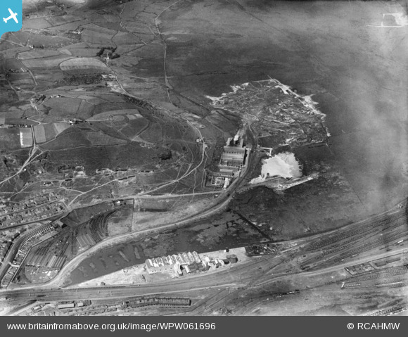
WPW061696 WALES (1939). Distant view of Tir John power station, Swansea, oblique aerial view. 5"x4" black and white glass plate negative.
© Copyright OpenStreetMap contributors and licensed by the OpenStreetMap Foundation. 2026. Cartography is licensed as CC BY-SA.
Nearby Images (13)
WPW061691
, oblique aerial view. 5\"x4\" black and white glass plate negative.")
WPW061692
, oblique aerial view. 5\"x4\" black and white glass plate negative.")
WPW061693
, oblique aerial view. 5\"x4\" black and white glass plate negative.")
WPW061694
, oblique aerial view. 5\"x4\" black and white glass plate negative.")
WPW061695
, oblique aerial view. 5\"x4\" black and white glass plate negative.")
WPW061696

WPW061697

WPW061698

WPW061699

WPW061700

WPW061701

WPW061702

WPW061703

Details
| Title | [WPW061696] Distant view of Tir John power station, Swansea, oblique aerial view. 5"x4" black and white glass plate negative. |
| Reference | WPW061696 |
| Date | 1939 |
| Link | Coflein Archive Item 6370526 |
| Place name | |
| Parish | |
| District | |
| Country | WALES |
| Easting / Northing | 268782, 193660 |
| Longitude / Latitude | -3.895893714121, 51.625967675541 |
| National Grid Reference | SS688937 |
Pins

Nigel_Wassell |
Tuesday 28th of March 2023 11:19:43 AM | |
|
Nigel_Wassell |
Tuesday 28th of March 2023 11:18:10 AM | |

Class31 |
Tuesday 30th of April 2013 10:22:13 AM | |
|
Class31 |
Tuesday 30th of April 2013 09:34:24 AM | |
|
Class31 |
Tuesday 30th of April 2013 09:29:03 AM | |
|
Class31 |
Tuesday 30th of April 2013 09:25:44 AM | |
|
Class31 |
Tuesday 30th of April 2013 08:47:24 AM | |
|
Class31 |
Tuesday 30th of April 2013 08:31:09 AM | |
|
Class31 |
Tuesday 30th of April 2013 08:01:30 AM |
User Comment Contributions
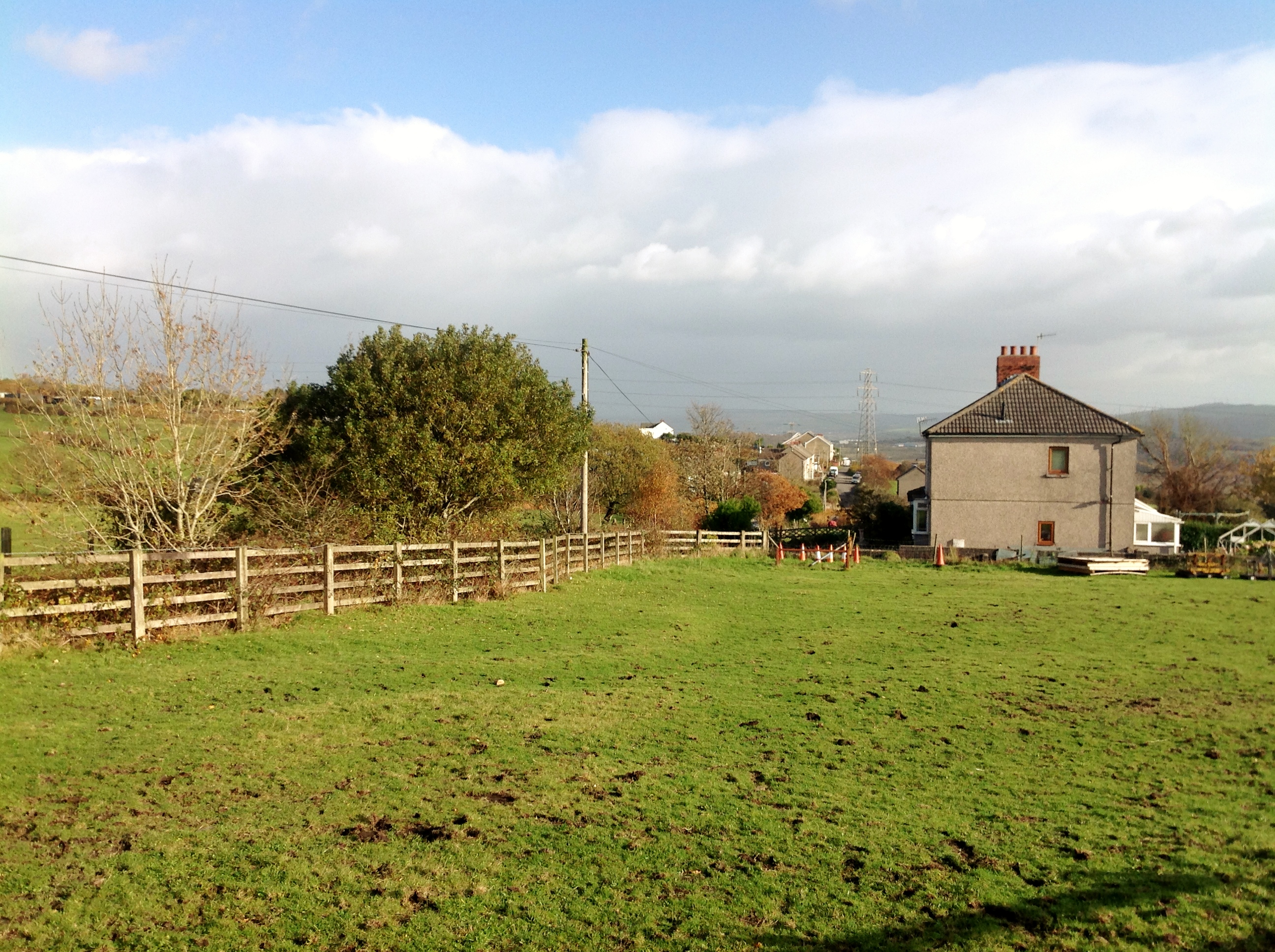
Ty-Draw Road, 14/11/2013 |
Class31 |
Monday 5th of January 2015 11:39:01 AM |
Coch-y-Cwm Road/Ty-Draw Road Junction, 14/11/2013 |
Class31 |
Monday 5th of January 2015 11:37:59 AM |

Looking south east from Ty-Draw Road, 14/11/2013 |
Class31 |
Monday 5th of January 2015 10:35:11 AM |
Looking east along Ty-Draw Road, 14/11/2013 |
Class31 |
Monday 5th of January 2015 10:33:46 AM |
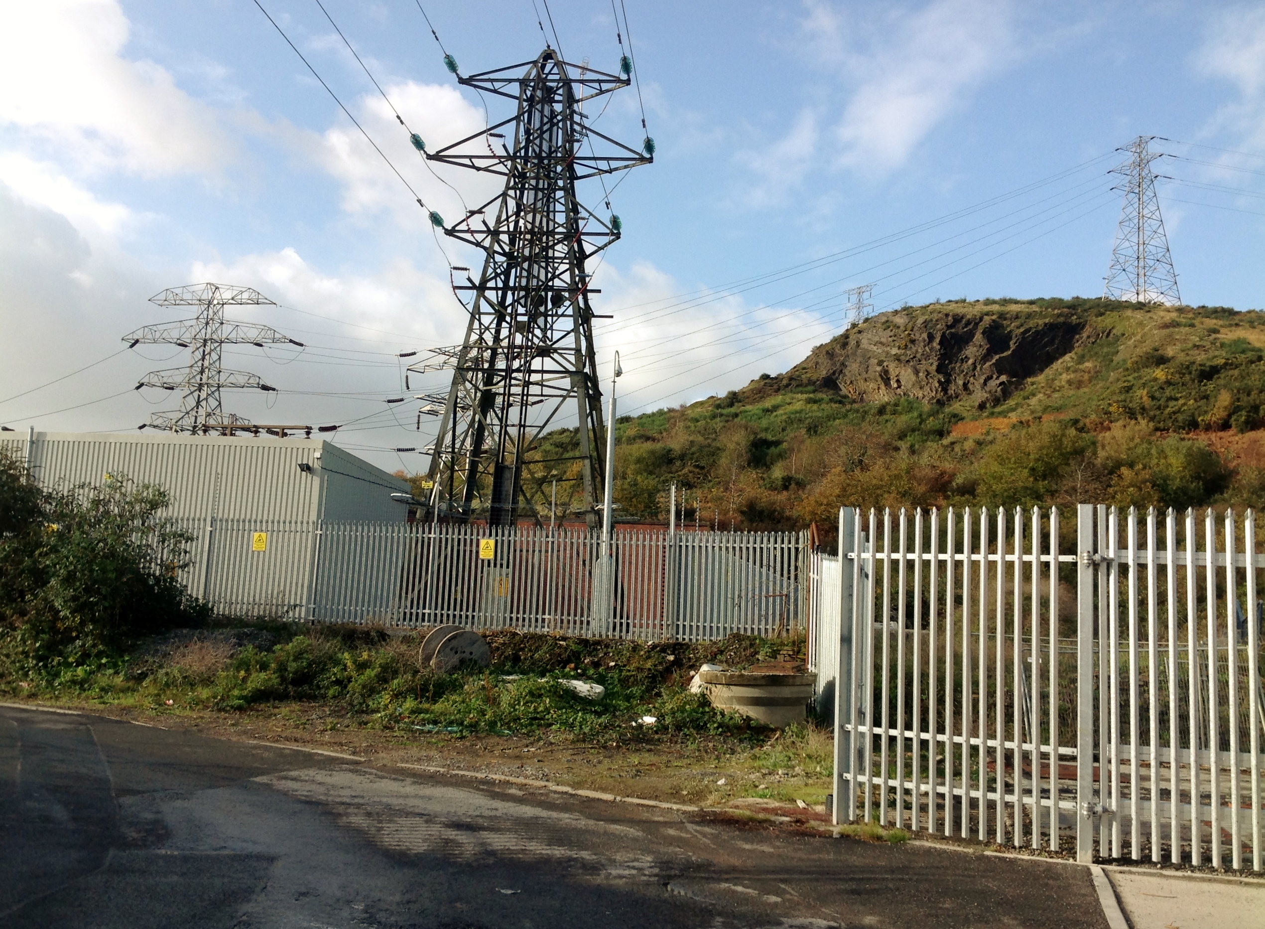
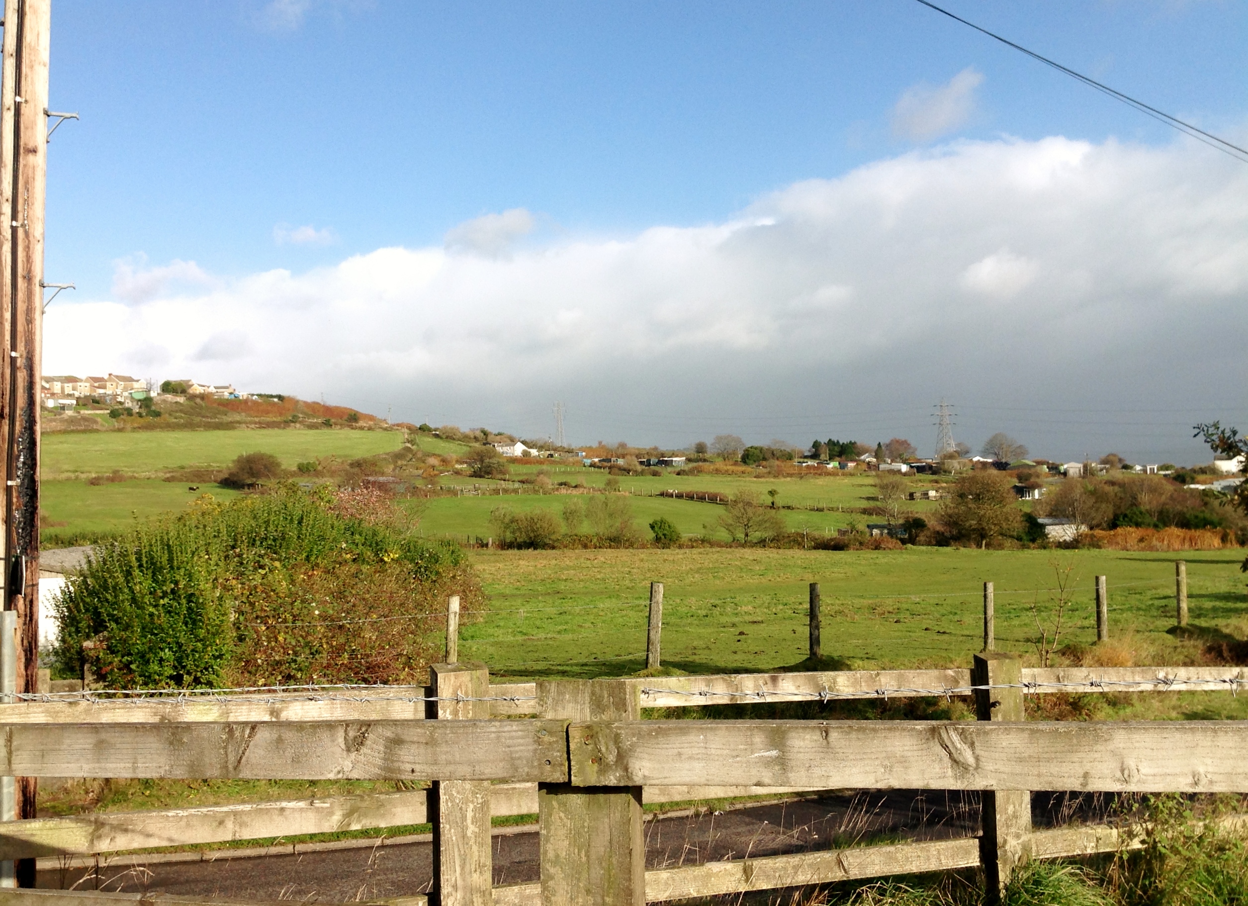
Site of Tir John Power Station,14/11/2013 |
Class31 |
Monday 5th of January 2015 10:32:06 AM |

Site of Tir John Power Station,14/11/2013 |
Class31 |
Monday 5th of January 2015 10:31:43 AM |

Site of Tir John Power Station,14/11/2013 |
Class31 |
Monday 5th of January 2015 10:31:21 AM |
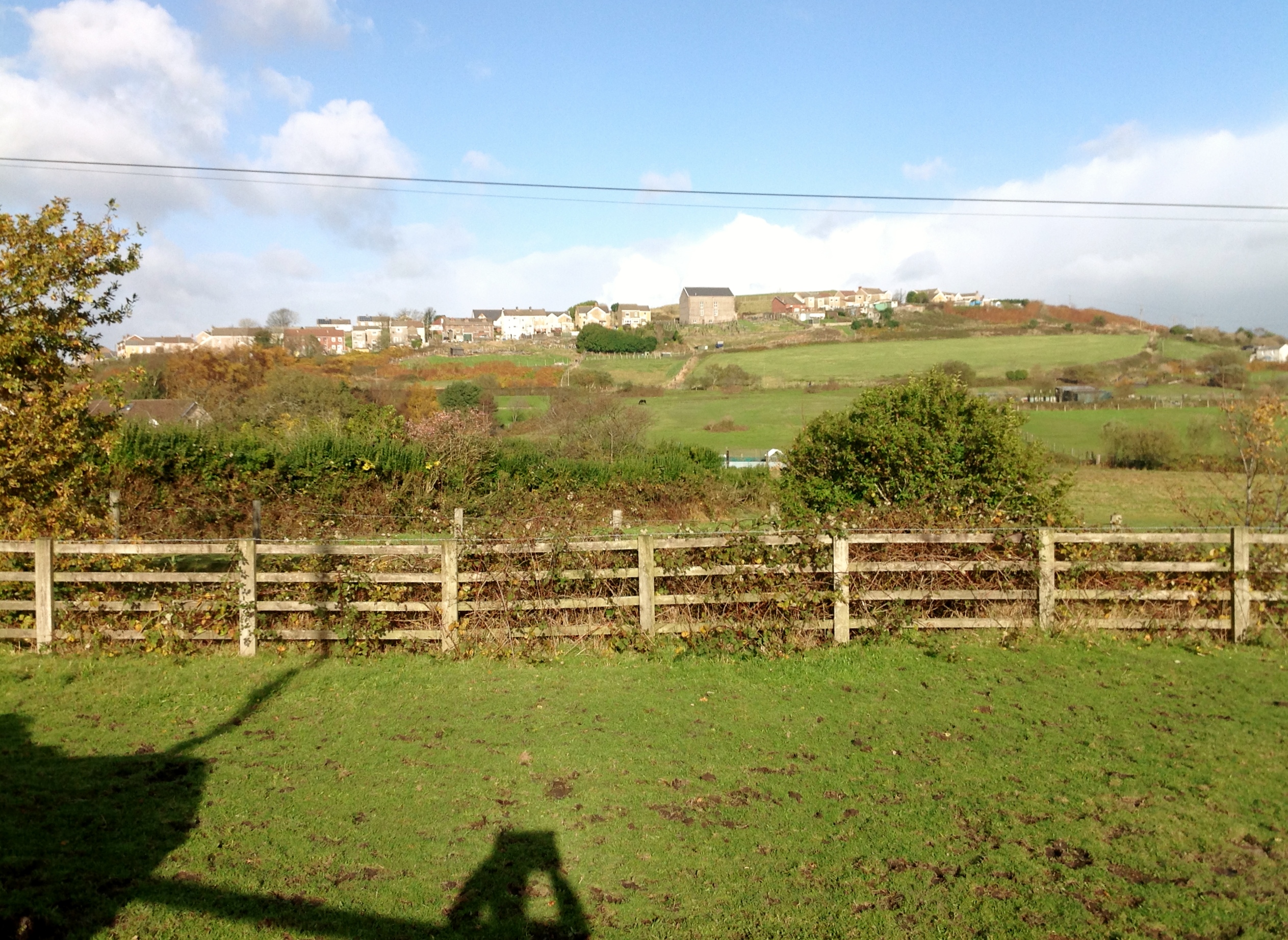
Looking north from Cochycwm Road towards Cefn Road with Adulam Baptist Chapel, Cefn Road, Bonymaen on the horizon. 14/11/2013. Spot the photographer! |
Class31 |
Monday 5th of January 2015 10:30:26 AM |
Nice photo and thanks for the share. Would I be right in thinking that on the other side of the wooden fence is a narrow road or lane called Ty-Draw Road which led from Bonymaen to to a few homes and what was a farm in Ty-Draw? |
garyb |
Friday 6th of June 2014 11:20:35 AM |
Hi garyb Thanks for your kind comments. You are spot on with your location and Ty-Draw Road. |
Class31 |
Monday 5th of January 2015 10:30:26 AM |

Aerial view of Swansea Docks and Baglan Bay looking south east, October 2013. Courtesy Con Shields |
Class31 |
Monday 5th of January 2015 08:46:34 AM |

Aerial view of Swansea Docks from the North, October 2013 courtesy Con Shields |
Class31 |
Sunday 4th of January 2015 07:32:10 PM |