
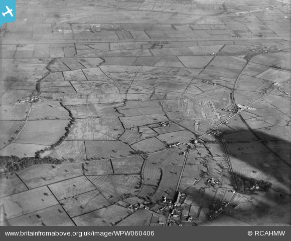
WPW060406 WALES (1939). High altitude view of Vickers-Armstrong Ltd. works - Broughton airfield under construction. Oblique aerial photograph, 5"x4" BW glass plate.
© Copyright OpenStreetMap contributors and licensed by the OpenStreetMap Foundation. 2026. Cartography is licensed as CC BY-SA.
Nearby Images (10)
WPW060399

WPW060400

WPW060401

WPW060402

WPW060403

WPW060404

WPW060405

WPW060406

WPW060407

WPW060408

Details
| Title | [WPW060406] High altitude view of Vickers-Armstrong Ltd. works - Broughton airfield under construction. Oblique aerial photograph, 5"x4" BW glass plate. |
| Reference | WPW060406 |
| Date | 26-January-1939 |
| Link | Coflein Archive Item 6423141 |
| Place name | |
| Parish | |
| District | |
| Country | WALES |
| Easting / Northing | 335000, 365000 |
| Longitude / Latitude | -2.9726615016567, 53.177841695053 |
| National Grid Reference | SJ350650 |
Pins

beast66606 |
Monday 13th of October 2014 02:42:07 PM |