
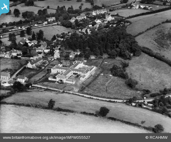
WPW055527 WALES (1937). View of Garstand Creameries, Newcastle Emlyn, oblique aerial view. 5"x4" black and white glass plate negative.
© Copyright OpenStreetMap contributors and licensed by the OpenStreetMap Foundation. 2024. Cartography is licensed as CC BY-SA.
Nearby Images (6)
WPW055522

WPW055523

WPW055524

WPW055525

WPW055526

WPW055527

Details
| Title | [WPW055527] View of Garstand Creameries, Newcastle Emlyn, oblique aerial view. 5"x4" black and white glass plate negative. |
| Reference | WPW055527 |
| Date | 22-September-1937 |
| Link | Coflein Archive Item 6370181 |
| Place name | |
| Parish | |
| District | |
| Country | WALES |
| Easting / Northing | 231541, 240168 |
| Longitude / Latitude | -4.4561347049538, 52.033870890372 |
| National Grid Reference | SN315402 |
Pins
 woodbutcher |
Monday 7th of August 2023 01:04:37 PM | |
 Class31 |
Wednesday 11th of July 2012 11:06:20 AM | |
Class31 |
Wednesday 11th of July 2012 11:05:59 AM | |
Class31 |
Wednesday 11th of July 2012 11:05:37 AM | |
Class31 |
Wednesday 11th of July 2012 11:05:23 AM |

User Comment Contributions
View looking North. |
Class31 |
Wednesday 11th of July 2012 11:07:50 AM |


