
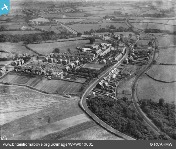
WPW040001 WALES (1932). General view of Church Village, Llantwit Fardre, oblique aerial view. 5"x4" black and white glass plate negative.
© Copyright OpenStreetMap contributors and licensed by the OpenStreetMap Foundation. 2026. Cartography is licensed as CC BY-SA.
Nearby Images (6)
WPW032570

WPW032571

WPW040001

WPW040002

WPW040003

WPW040004

Details
| Title | [WPW040001] General view of Church Village, Llantwit Fardre, oblique aerial view. 5"x4" black and white glass plate negative. |
| Reference | WPW040001 |
| Date | 1932 |
| Link | Coflein Archive Item 6369617 |
| Place name | |
| Parish | |
| District | |
| Country | WALES |
| Easting / Northing | 308800, 185930 |
| Longitude / Latitude | -3.315887148067, 51.564386759288 |
| National Grid Reference | ST088859 |
Pins

KATH |
Saturday 22nd of September 2012 10:46:53 PM | |
|
singe69 |
Friday 27th of July 2012 12:40:32 PM | |
|
singe69 |
Friday 27th of July 2012 12:39:28 PM | |

Class31 |
Monday 2nd of July 2012 11:15:38 PM | |
|
Class31 |
Monday 2nd of July 2012 11:14:44 PM | |
|
Class31 |
Monday 2nd of July 2012 11:14:02 PM | |
|
Class31 |
Monday 2nd of July 2012 11:13:33 PM | |
|
Class31 |
Monday 2nd of July 2012 11:13:12 PM |