
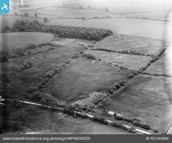
WPW038325 WALES (1932). Showing area south west of Margam, including the Ropeyard Plantation and Upper Mother Ditch. Now the site of Eglwys Nunydd Reservoir, oblique aerial view. 5"x4" black and white glass plate negative.
© Copyright OpenStreetMap contributors and licensed by the OpenStreetMap Foundation. 2026. Cartography is licensed as CC BY-SA.
Nearby Images (3)
WPW038324

WPW038325

WPW038326

Details
| Title | [WPW038325] Showing area south west of Margam, including the Ropeyard Plantation and Upper Mother Ditch. Now the site of Eglwys Nunydd Reservoir, oblique aerial view. 5"x4" black and white glass plate negative. |
| Reference | WPW038325 |
| Date | 1932 |
| Link | Coflein Archive Item 6370917 |
| Place name | |
| Parish | |
| District | |
| Country | WALES |
| Easting / Northing | 279440, 184810 |
| Longitude / Latitude | -3.7389419382207, 51.548806892935 |
| National Grid Reference | SS794848 |
Pins

Alan McFarlane |
Friday 14th of June 2013 07:25:41 PM |
