
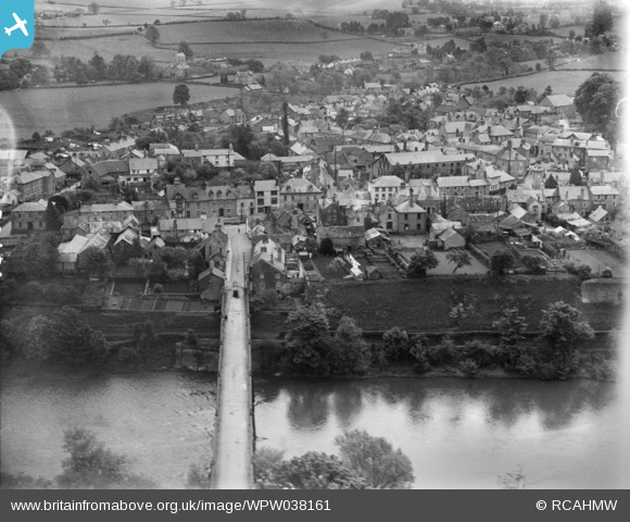
WPW038161 WALES (1932). General view of Hay-on-Wye, oblique aerial view. 5"x4" black and white glass plate negative.
© Copyright OpenStreetMap contributors and licensed by the OpenStreetMap Foundation. 2026. Cartography is licensed as CC BY-SA.
Nearby Images (6)
WPW038158

WPW038159

WPW038160

WPW038161

WPW038162

WPW038163

Details
| Title | [WPW038161] General view of Hay-on-Wye, oblique aerial view. 5"x4" black and white glass plate negative. |
| Reference | WPW038161 |
| Date | 1932 |
| Link | Coflein Archive Item 6370887 |
| Place name | |
| Parish | |
| District | |
| Country | WALES |
| Easting / Northing | 323000, 242400 |
| Longitude / Latitude | -3.1236062249337, 52.074187489705 |
| National Grid Reference | SO230424 |
