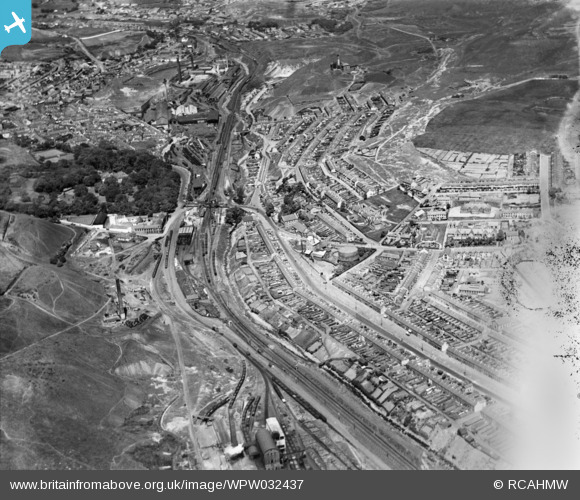
WPW032437 WALES (1930). General view of Tredegar, oblique aerial view. 5"x4" black and white glass plate negative.
© Copyright OpenStreetMap contributors and licensed by the OpenStreetMap Foundation. 2026. Cartography is licensed as CC BY-SA.
Details
| Title | [WPW032437] General view of Tredegar, oblique aerial view. 5"x4" black and white glass plate negative. |
| Reference | WPW032437 |
| Date | 1930 |
| Link | Coflein Archive Item 6370754 |
| Place name | |
| Parish | |
| District | |
| Country | WALES |
| Easting / Northing | 314000, 208000 |
| Longitude / Latitude | -3.2463108527823, 51.763616205401 |
| National Grid Reference | SO140080 |
Pins

Allan |
Monday 28th of July 2025 06:21:46 PM | |

Allan |
Monday 28th of July 2025 06:20:51 PM | |

swalian |
Tuesday 21st of August 2012 03:47:19 AM | |

swalian |
Tuesday 21st of August 2012 03:45:31 AM | |

swalian |
Tuesday 21st of August 2012 03:43:33 AM | |

swalian |
Tuesday 21st of August 2012 03:42:23 AM | |

geejay |
Sunday 15th of July 2012 05:58:13 PM | |

Class31 |
Wednesday 11th of July 2012 12:02:40 PM | |

Class31 |
Wednesday 11th of July 2012 12:00:34 PM | |

Class31 |
Wednesday 11th of July 2012 11:57:48 AM | |

Kate |
Monday 11th of June 2012 04:31:24 PM |
User Comment Contributions

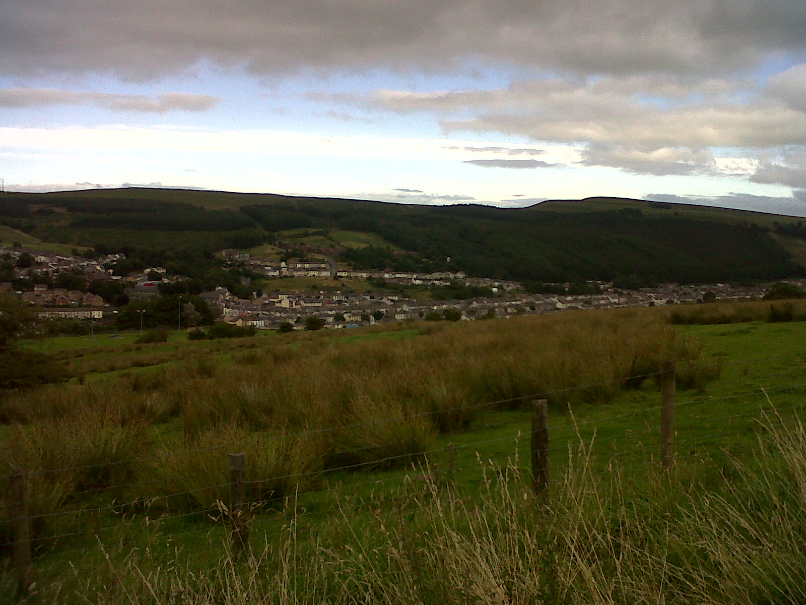
View of terraces on the east side of the valley, Tredegar, looking east. 24/08/2013 |

Class31 |
Monday 26th of August 2013 08:32:13 PM |

View of terraces on the east side of the valley, Tredegar, looking east. 24/08/2013 |

Class31 |
Monday 26th of August 2013 08:30:48 PM |
This was taken circa 1930 as it was around this time that the new station building was erected, the platform extended, the engine she roof repaired and the engine shed layout was remodelled. |

Philip Griffiths |
Tuesday 3rd of July 2012 08:24:36 PM |


![[WPW032435] General view of Tredegar, oblique aerial view. 5"x4" black and white glass plate negative.](http://britainfromabove.org.uk/sites/all/libraries/aerofilms-images/public/100x100/WPW/032/WPW032435.jpg)
![[WPW032436] View of Tredegar, Bedwellty Park and recreation ground, oblique aerial view. 5"x4" black and white glass plate negative.](http://britainfromabove.org.uk/sites/all/libraries/aerofilms-images/public/100x100/WPW/032/WPW032436.jpg)
![[WPW032437] General view of Tredegar, oblique aerial view. 5"x4" black and white glass plate negative.](http://britainfromabove.org.uk/sites/all/libraries/aerofilms-images/public/100x100/WPW/032/WPW032437.jpg)