
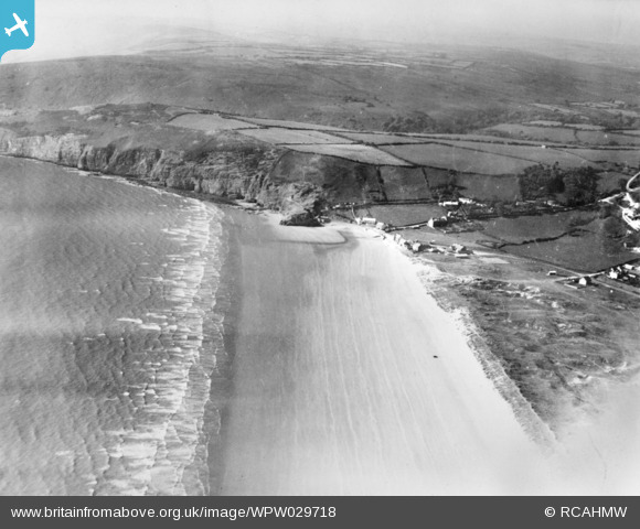
WPW029718 WALES (1929). View of Pendine showing sands. Oblique aerial photograph, 5"x4" BW glass plate.
© Copyright OpenStreetMap contributors and licensed by the OpenStreetMap Foundation. 2026. Cartography is licensed as CC BY-SA.
Nearby Images (6)
WAW039176

WAW039177

WAW039178
. Oblique aerial photograph, 5½\" cut roll film.")
WPW029713

WPW029715

WPW029718

Details
| Title | [WPW029718] View of Pendine showing sands. Oblique aerial photograph, 5"x4" BW glass plate. |
| Reference | WPW029718 |
| Date | 1929 |
| Link | Coflein Archive Item 6422570 |
| Place name | |
| Parish | |
| District | |
| Country | WALES |
| Easting / Northing | 223000, 208000 |
| Longitude / Latitude | -4.5640234381445, 51.742250462625 |
| National Grid Reference | SN230080 |
Pins
Be the first to add a comment to this image!