
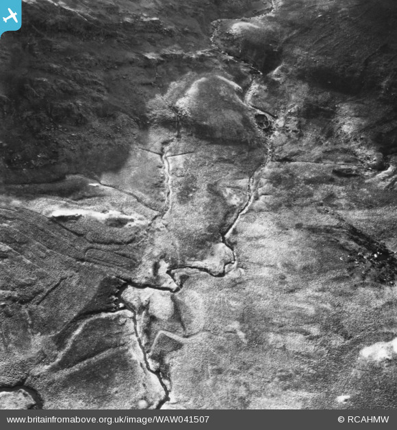
WAW041507 WALES (1952). View of crash site of an Aer Lingus Dakota on 10th January 1952 on the south side of Snowdon, commissioned by the Ministry of Civil Aviation. Oblique aerial photograph, 5½" cut roll film.
© Copyright OpenStreetMap contributors and licensed by the OpenStreetMap Foundation. 2026. Cartography is licensed as CC BY-SA.
Nearby Images (15)
WAW041504

WAW041506

WAW041507

WAW041508

WAW041509

WAW041510

WAW041511

WAW041512

WAW041513

WAW041514

WAW041515

WAW041516

WAW041517

WAW041518

WAW041519

Details
| Title | [WAW041507] View of crash site of an Aer Lingus Dakota on 10th January 1952 on the south side of Snowdon, commissioned by the Ministry of Civil Aviation. Oblique aerial photograph, 5½" cut roll film. |
| Reference | WAW041507 |
| Date | 1952 |
| Link | Coflein Archive Item 6423496 |
| Place name | |
| Parish | |
| District | |
| Country | WALES |
| Easting / Northing | 266950, 352349 |
| Longitude / Latitude | -3.9852194337783, 53.051515886941 |
| National Grid Reference | SH670523 |
Pins

Class31 |
Wednesday 6th of May 2015 10:15:01 AM |
User Comment Contributions
We are looking south at Cwm Edno. |
Class31 |
Wednesday 6th of May 2015 10:13:54 AM |