
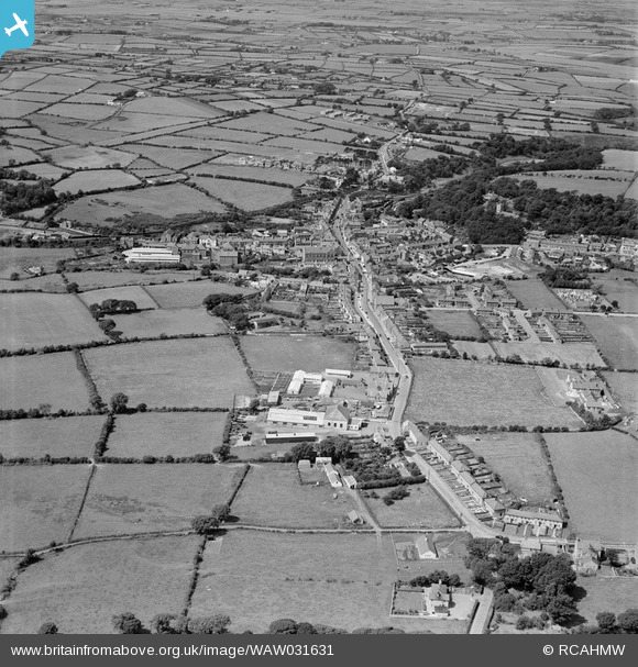
WAW031631 WALES (1950). General view of Llangefni
© Copyright OpenStreetMap contributors and licensed by the OpenStreetMap Foundation. 2026. Cartography is licensed as CC BY-SA.
Nearby Images (3)
WAW031630

WAW031631

WAW031632

Details
| Title | [WAW031631] General view of Llangefni |
| Reference | WAW031631 |
| Date | 1950 |
| Link | Coflein Archive Item 6414318 |
| Place name | |
| Parish | |
| District | |
| Country | WALES |
| Easting / Northing | 245930, 375690 |
| Longitude / Latitude | -4.3098286957989, 53.255537188222 |
| National Grid Reference | SH459757 |
