
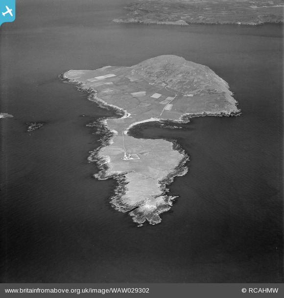
WAW029302 WALES (1950). View of Bardsey Island
© Copyright OpenStreetMap contributors and licensed by the OpenStreetMap Foundation. 2026. Cartography is licensed as CC BY-SA.
Nearby Images (3)
WAW029300

WAW029301

WAW029302

Details
| Title | [WAW029302] View of Bardsey Island |
| Reference | WAW029302 |
| Date | 1950 |
| Link | Coflein Archive Item 6414206 |
| Place name | |
| Parish | |
| District | |
| Country | WALES |
| Easting / Northing | 211500, 322200 |
| Longitude / Latitude | -4.794169414051, 52.764119178541 |
| National Grid Reference | SH115222 |
Pins

Ian Warburton |
Thursday 22nd of January 2015 04:19:45 PM | |
|
Ian Warburton |
Thursday 22nd of January 2015 04:18:16 PM | |
|
Ian Warburton |
Thursday 22nd of January 2015 03:38:03 PM |