
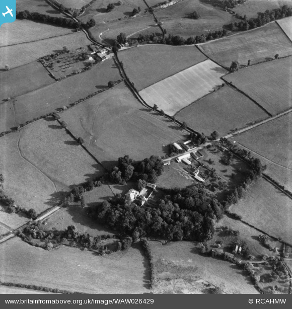
WAW026429 WALES (1949). View of Lugg valley showing The Grove, Maes Treylow, and Yew Tree farm in the distance. Oblique aerial photograph, 5½" cut roll film.
© Copyright OpenStreetMap contributors and licensed by the OpenStreetMap Foundation. 2026. Cartography is licensed as CC BY-SA.
Nearby Images (2)
WAW026428

WAW026429

Details
| Title | [WAW026429] View of Lugg valley showing The Grove, Maes Treylow, and Yew Tree farm in the distance. Oblique aerial photograph, 5½" cut roll film. |
| Reference | WAW026429 |
| Date | 8-September-1949 |
| Link | Coflein Archive Item 6422698 |
| Place name | |
| Parish | |
| District | |
| Country | WALES |
| Easting / Northing | 326700, 265400 |
| Longitude / Latitude | -3.0745971831008, 52.281457269162 |
| National Grid Reference | SO267654 |
Pins
Be the first to add a comment to this image!