
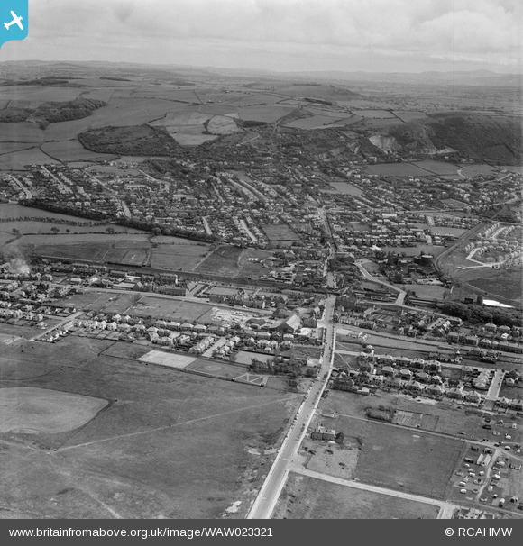
WAW023321 WALES (1949). View of Prestatyn
© Copyright OpenStreetMap contributors and licensed by the OpenStreetMap Foundation. 2026. Cartography is licensed as CC BY-SA.
Nearby Images (11)
WAW023320

WAW023321

WAW023322

WPW045163

WPW045164

WPW045165

WPW045166

WPW051610

WPW051611

WPW055838

WPW055840

Details
| Title | [WAW023321] View of Prestatyn |
| Reference | WAW023321 |
| Date | 1949 |
| Link | Coflein Archive Item 6414000 |
| Place name | |
| Parish | |
| District | |
| Country | WALES |
| Easting / Northing | 306920, 382790 |
| Longitude / Latitude | -3.3979393289011, 53.333552501195 |
| National Grid Reference | SJ069828 |
Pins
User Comment Contributions

Prestatyn Offas Dyke Path National Trail |

thetreehunter |
Saturday 3rd of January 2015 11:14:42 AM |