
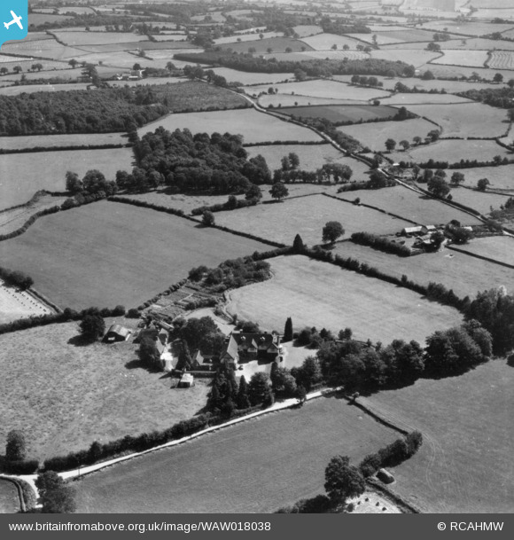
WAW018038 WALES (1948). View of Plas Hendy, Bryngwyn in surrounding fields, commissioned by Victor E. Danks. Oblique aerial photograph, 5½" cut roll film.
© Copyright OpenStreetMap contributors and licensed by the OpenStreetMap Foundation. 2025. Cartography is licensed as CC BY-SA.
Nearby Images (4)
WAW018038

WAW018039

WAW018040

WAW018041

Details
| Title | [WAW018038] View of Plas Hendy, Bryngwyn in surrounding fields, commissioned by Victor E. Danks. Oblique aerial photograph, 5½" cut roll film. |
| Reference | WAW018038 |
| Date | 14-August-1948 |
| Link | Coflein Archive Item 6423404 |
| Place name | |
| Parish | |
| District | |
| Country | WALES |
| Easting / Northing | 339030, 209602 |
| Longitude / Latitude | -2.8839138718041, 51.781305681197 |
| National Grid Reference | SO390096 |
Pins
Be the first to add a comment to this image!