
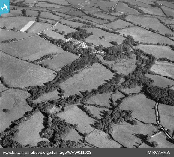
WAW011628 WALES (1947). Distant view of Derwydd, Llandybie, commissioned by Mrs Gulston
© Copyright OpenStreetMap contributors and licensed by the OpenStreetMap Foundation. 2025. Cartography is licensed as CC BY-SA.
Nearby Images (10)
WAW011626

WAW011627

WAW011628

WAW011629

WAW011630

WAW011631

WAW011632

WAW011633

WAW011634

WAW011635

Details
| Title | [WAW011628] Distant view of Derwydd, Llandybie, commissioned by Mrs Gulston |
| Reference | WAW011628 |
| Date | 6-October-1947 |
| Link | Coflein Archive Item 6413821 |
| Place name | |
| Parish | |
| District | |
| Country | WALES |
| Easting / Northing | 261260, 217830 |
| Longitude / Latitude | -4.0141407550066, 51.841369597245 |
| National Grid Reference | SN613178 |
Pins

Nowy Paul |
Saturday 1st of March 2025 12:50:18 PM |