
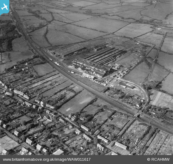
WAW011617 WALES (1947). View of Gowerton aluminium factory (with wartime camouflage)
© Copyright OpenStreetMap contributors and licensed by the OpenStreetMap Foundation. 2026. Cartography is licensed as CC BY-SA.
Nearby Images (14)
WAW011612
")
WAW011613
")
WAW011614
")
WAW011615
")
WAW011616
")
WAW011617
")
WAW011618
")
WAW011619

WAW011620

WAW011621
")
WAW011622
")
WAW011623
 showing workers leaving")
WAW011624
")
WAW011625
 showing workers leaving")
Details
| Title | [WAW011617] View of Gowerton aluminium factory (with wartime camouflage) |
| Reference | WAW011617 |
| Date | 6-October-1947 |
| Link | Coflein Archive Item 6413810 |
| Place name | |
| Parish | |
| District | |
| Country | WALES |
| Easting / Northing | 260210, 195930 |
| Longitude / Latitude | -4.0205719133216, 51.644303039159 |
| National Grid Reference | SS602959 |
Pins

redmist |
Thursday 13th of May 2021 08:43:00 PM | |

Matt Aldred edob.mattaldred.com |
Wednesday 3rd of March 2021 05:04:40 PM | |
|
Matt Aldred edob.mattaldred.com |
Wednesday 3rd of March 2021 05:04:27 PM | |

Sparky |
Wednesday 16th of August 2017 12:07:46 AM | |

Class31 |
Saturday 10th of January 2015 10:05:11 PM | |
|
Class31 |
Saturday 10th of January 2015 09:57:52 PM | |
|
Class31 |
Saturday 10th of January 2015 09:53:41 PM |


User Comment Contributions
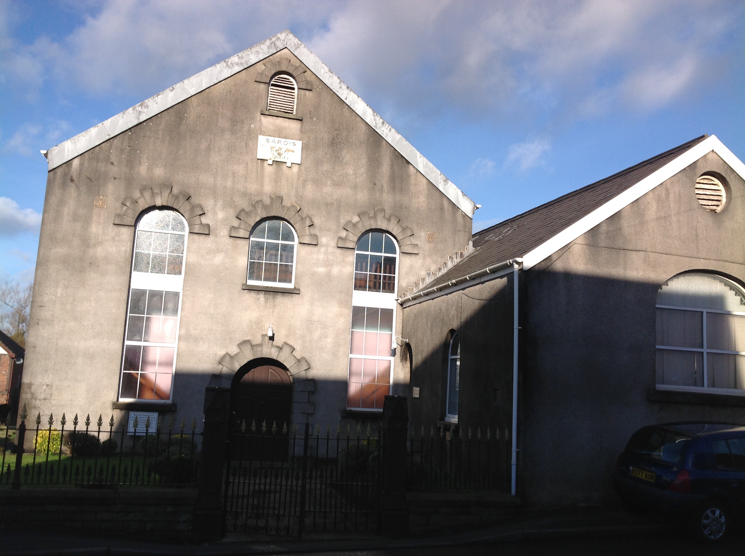
Sardis Chapel, Swansea Road, Waunarlwydd, 08/01/2015 |
Class31 |
Saturday 10th of January 2015 10:05:55 PM |