
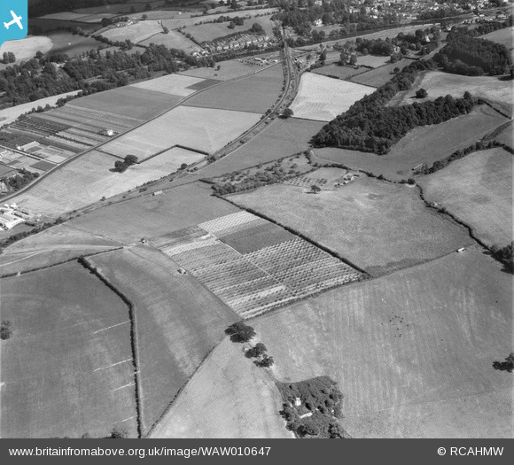
WAW010647 WALES (1947). View of Monmouthshire Agricultural Institution, Rhadyr
© Copyright OpenStreetMap contributors and licensed by the OpenStreetMap Foundation. 2026. Cartography is licensed as CC BY-SA.
Nearby Images (10)
WAW010646

WAW010647

WAW010648

WAW010649

WAW010650

WAW010651

WAW010652

WAW010653

WAW010654

WAW010655

Details
| Title | [WAW010647] View of Monmouthshire Agricultural Institution, Rhadyr |
| Reference | WAW010647 |
| Date | 1-September-1947 |
| Link | Coflein Archive Item 6413744 |
| Place name | |
| Parish | |
| District | |
| Country | WALES |
| Easting / Northing | 336770, 201880 |
| Longitude / Latitude | -2.9152695648917, 51.711626476187 |
| National Grid Reference | SO368019 |
Pins

Matt Aldred edob.mattaldred.com |
Sunday 6th of December 2020 05:03:42 PM | |
|
Matt Aldred edob.mattaldred.com |
Sunday 6th of December 2020 05:03:32 PM | |

cptpies |
Friday 12th of December 2014 08:58:09 AM |
User Comment Contributions

Variant pillbox near Usk |
cptpies |
Friday 12th of December 2014 08:59:19 AM |