
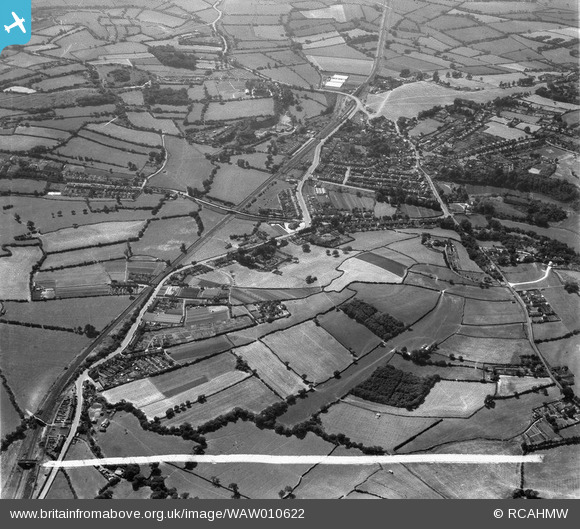
WAW010622 WALES (1947). View of Dinas Powys, commissioned by W.G. Lilley
© Copyright OpenStreetMap contributors and licensed by the OpenStreetMap Foundation. 2024. Cartography is licensed as CC BY-SA.
Nearby Images (6)
WAW010621

WAW010622

WAW010623

WAW010624

WAW010625

WAW010626

Details
| Title | [WAW010622] View of Dinas Powys, commissioned by W.G. Lilley |
| Reference | WAW010622 |
| Date | 1-September-1947 |
| Link | Coflein Archive Item 6413719 |
| Place name | |
| Parish | |
| District | |
| Country | WALES |
| Easting / Northing | 315320, 171290 |
| Longitude / Latitude | -3.2183217574633, 51.433783310533 |
| National Grid Reference | ST153713 |
Pins
Be the first to add a comment to this image!