
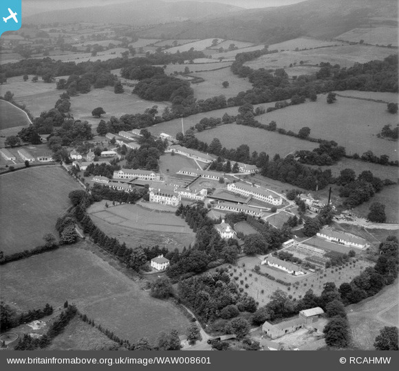
WAW008601 WALES (1947). View of King Edward VII Sanatorium, Denbigh
© Copyright OpenStreetMap contributors and licensed by the OpenStreetMap Foundation. 2026. Cartography is licensed as CC BY-SA.
Nearby Images (20)
WAW008601

WAW008602

WAW008603

WAW008604

WAW008605

WAW008606

WAW008607

WAW008608

WAW008609

WAW010462

WAW010463

WAW010464

WAW010465

WAW010466

WAW010467

WAW010468

WAW010469

WAW010470

WAW010471

WAW010472

Details
| Title | [WAW008601] View of King Edward VII Sanatorium, Denbigh |
| Reference | WAW008601 |
| Date | 1-August-1947 |
| Link | Coflein Archive Item 6413577 |
| Place name | |
| Parish | |
| District | |
| Country | WALES |
| Easting / Northing | 312000, 366000 |
| Longitude / Latitude | -3.3170228636923, 53.183522674937 |
| National Grid Reference | SJ120660 |
Pins

John Ellis |
Tuesday 20th of June 2017 10:27:55 PM |