
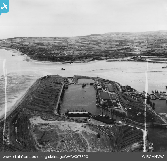
WAW007820 WALES (1947). View of Queen Alexandra dock from the east with Penarth in the distance. Oblique aerial photograph, 5½" cut roll film.
© Copyright OpenStreetMap contributors and licensed by the OpenStreetMap Foundation. 2026. Cartography is licensed as CC BY-SA.
Nearby Images (8)
WAW005383

WAW005384

WAW005386

WAW005387

WAW007820

WAW007821

WPW006076

WPW038277

Details
| Title | [WAW007820] View of Queen Alexandra dock from the east with Penarth in the distance. Oblique aerial photograph, 5½" cut roll film. |
| Reference | WAW007820 |
| Date | 22-June-1947 |
| Link | Coflein Archive Item 6422669 |
| Place name | |
| Parish | |
| District | |
| Country | WALES |
| Easting / Northing | 319800, 173800 |
| Longitude / Latitude | -3.1544497963959, 51.457002175176 |
| National Grid Reference | ST198738 |
Pins

redmist |
Friday 23rd of May 2025 01:10:31 PM | |
|
redmist |
Friday 23rd of May 2025 01:09:17 PM | |

Class31 |
Thursday 1st of October 2015 08:31:33 AM | |
|
Louis |
Wednesday 24th of December 2014 03:17:42 PM | |
|
Class31 |
Wednesday 15th of October 2014 10:48:15 AM | |
|
Louis |
Tuesday 14th of October 2014 05:25:50 PM | |
|
Louis |
Tuesday 14th of October 2014 05:25:19 PM |
