
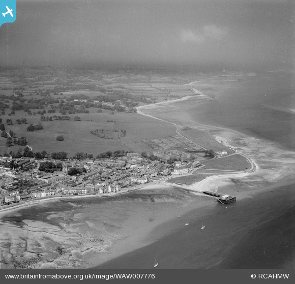
WAW007776 WALES (1947). Distant view of Beaumaris
© Copyright OpenStreetMap contributors and licensed by the OpenStreetMap Foundation. 2026. Cartography is licensed as CC BY-SA.
Nearby Images (10)
WAW007772

WAW007773

WAW007774

WAW007775

WAW007776

WAW031604

WAW031605

WAW031606

WAW003643

WAW007770

Details
| Title | [WAW007776] Distant view of Beaumaris |
| Reference | WAW007776 |
| Date | 30-May-1947 |
| Link | Coflein Archive Item 6413535 |
| Place name | |
| Parish | |
| District | |
| Country | WALES |
| Easting / Northing | 260496, 376109 |
| Longitude / Latitude | -4.0918055844032, 53.263330824723 |
| National Grid Reference | SH605761 |
Pins

Oliver Mills |
Thursday 18th of August 2016 03:12:18 PM | |
|
Graham Yaxley |
Friday 26th of December 2014 03:41:21 PM | |
|
Graham Yaxley |
Friday 26th of December 2014 03:40:26 PM |