
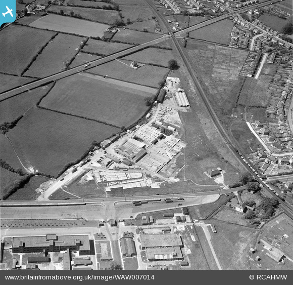
WAW007014 WALES (1947). View of Concrete works, Bridgend, also showing Bridgend RO factory
© Copyright OpenStreetMap contributors and licensed by the OpenStreetMap Foundation. 2026. Cartography is licensed as CC BY-SA.
Nearby Images (5)
WAW007009

WAW007011

WAW007012

WAW007013

WAW007014

Details
| Title | [WAW007014] View of Concrete works, Bridgend, also showing Bridgend RO factory |
| Reference | WAW007014 |
| Date | 11-June-1947 |
| Link | Coflein Archive Item 6413489 |
| Place name | |
| Parish | |
| District | |
| Country | WALES |
| Easting / Northing | 291310, 178790 |
| Longitude / Latitude | -3.5659456253516, 51.49710439966 |
| National Grid Reference | SS913788 |
Pins

Matt Aldred edob.mattaldred.com |
Tuesday 1st of November 2022 01:46:03 PM | |
|
Matt Aldred edob.mattaldred.com |
Tuesday 1st of November 2022 01:45:24 PM | |
|
Matt Aldred edob.mattaldred.com |
Tuesday 1st of November 2022 01:44:51 PM | |
|
Matt Aldred edob.mattaldred.com |
Tuesday 1st of November 2022 01:44:35 PM | |

TonyCoombe |
Thursday 2nd of April 2020 08:28:11 PM | |
|
86F |
Monday 24th of November 2014 10:41:25 PM |